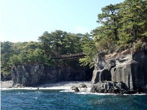
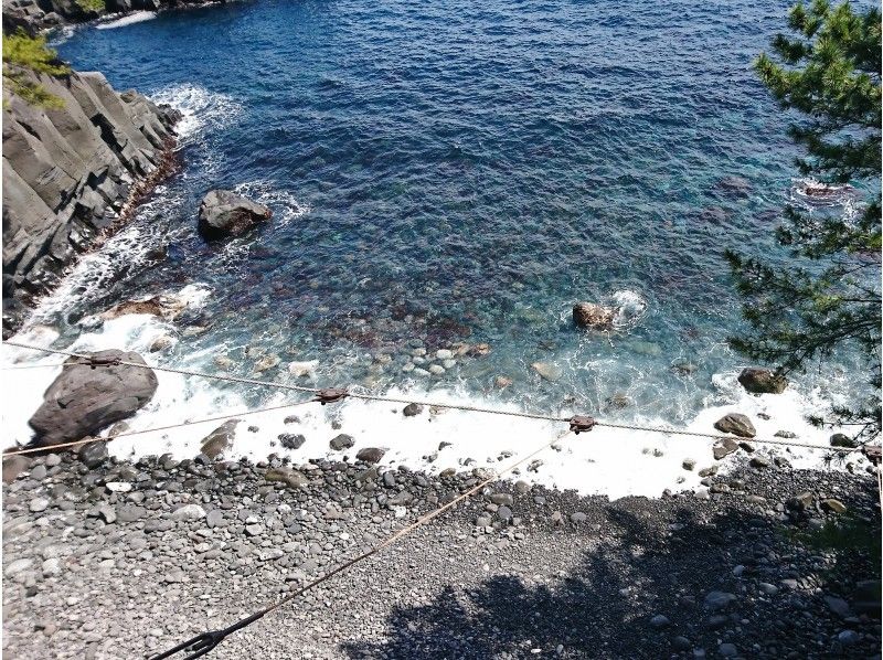
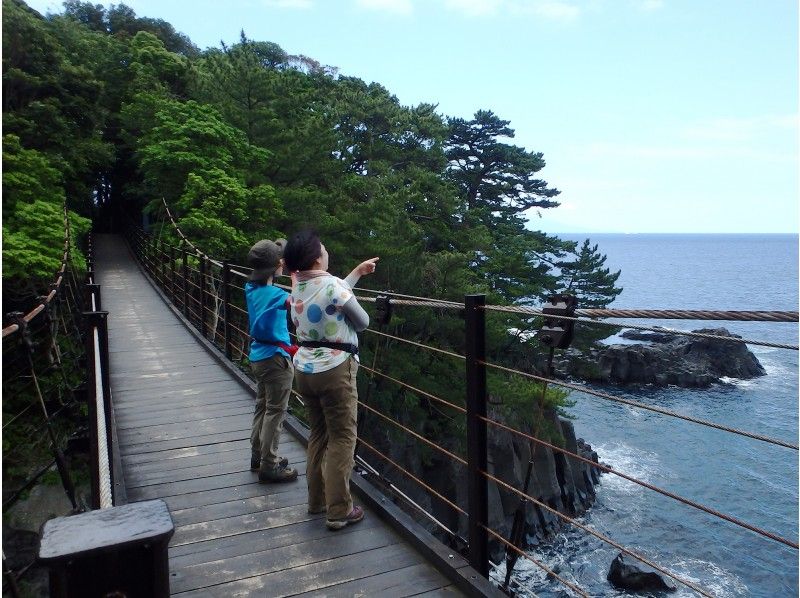
Izu / Jogasaki Coast Geowalking
Experience details
Included
- Guide fees, insurance premiums, consumption tax
Meeting Point
Sightseeing in Hashidate by 5 minutes before the start time of each course Parking Lot Please come to
Sightseeing in Hashidate Parking Lot
Venue Address
〒413-0232 静岡県伊東市八幡野947-650
Provided by
ダイビング&トレッキングぴっころ
Schedule
- 1 to 2 hours
- 歩行距離 約2km
Description
Jogasaki Beach, a popular sightseeing spot representing Izu, is now around 4000 Year Before, Mt. Omuro erupted and lava flowed into the sea 4 kilometers away.
Then long Year Over the moon, it was eroded by the sea, creating an uneven terrain.
Because of its scarcity, it was selected as a geosite * 1 for the Izu Peninsula Geopark.
* 1 Geosite: Geological highlights in the Izu Peninsula Geopark
The Izu Peninsula was once a submarine volcano in the far south.
Submarine volcanoes erupted repeatedly to land, and collided with the Japanese archipelago along the north of the plate, about 200-600,000 Year It became the present form before.
Izu peninsula, which has such a rare history on the earth, was created by UNESCO in 2011. Year Japan Geopark, 2018 Was certified as a World Geopark.
At Jogasaki Kaigan Geowalking, you will go through the thrilling “Hashidate Suspension Bridge”, the tide pool “Oiso / Kominato” in the hollow of columnar joints, and the phantom waterfall “Tsukushima Falls” that appears after the rain.
I walked with the GeoGuide, “Hey! Would you like to make a new discovery?